Free Photos (Public Domain Photos),stock Photos, Clipart, images, and Vectors

A large Public Domain photo repository with high resolution free photos and vectors. All copyright free stock photos and royalty free photos, and CC0 Photos. 27000 free and public domain photos, images, clipart, pics and vectors and counting. To view/download a photo in high resolution, please click on the image.

Sponsored Images via Shutterstock: Coupon Code: GFP15 for 15% off
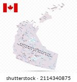
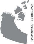
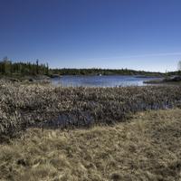
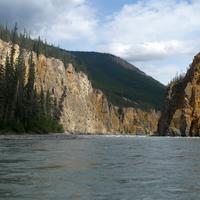
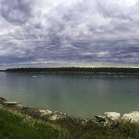
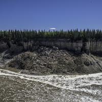
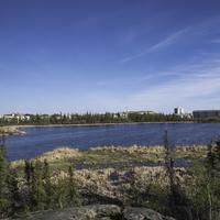
Endless Dempster Highway near the arctic circle, remote gravel road leading from Dawson City to Inuvik, Canada
Group paddling down the whitewater of the Nahanni River in the Northwest Territories.
Endless Dempster Highway near the arctic circle, remote gravel road leading from Dawson City to Inuvik, Canada
Yellowknife, Northwest territories, Tent, Northern Light, Aurora
Endless Dempster Highway near the arctic circle, remote gravel road leading from Dawson City to Inuvik, Canada
Northwest Territories Map. Canada state with cities and towns

The Northwest Territories is the most populated of Canada's three northern territories. There is one paved one leading in from Alberta that goes to the Capital at Yellowknife. Other roads are gravel or unpaved leading to various settlements within the Northwest Territories. These are Public Domain Photos of the Northwest Territories.