Free Photos > Public Domain Images > 1873 Illustration of Edwin Waller's layout for Austin, Texas (8700/19062)

To view or save this photo in High resolution, just click the photo to see the full image(the full image is much higher quality and not pixelated).

1873 Illustration of Edwin Waller's layout for Austin, Texas. Photo by Augustus Koch.

All free photos on this site are public domain. Please consider giving a credit hyperlink to https://www.goodfreephotos.com if you use the photos on this site using the attribution code in the below box. It is not required but it'd be much appreciated.

This photo is under the CC0 / Public Domain License.

Sponsored Images via Shutterstock:
Austin, Texas - 3D rendered city planning map with color-coded buildings, roads and waterways, viewed from above.
Austin, USA map background
Austin in colorful poster design.
Austin panorama city. Flat line style. For banner, presentation, cards, web page. Vector illustration
US Texas State Austin City Outline
Coupon Code: GFP15 for 15% off


Similar Images
Shoreline and waves at Acadia National Park, Maine On the beach at Acadia National Park, Maine Coastline and Water of Acadia National Park, Maine Shoreline Landscape at Acadia National Park, Maine Winter landscape with snow at Acadia National Park, Maine Snow and winter landscape in Acadia National Park, Maine Sad Clown Face on doll Highland tinamou - Nothocercus bonapartei Grey Tinamou - Tinamus tao Carrington-Covert House in Austin, Texas Goodman building in Austin, Texas 1873 Illustration of Edwin Waller's layout for Austin, Texas Austin, Texas from the International Space Station Scenic River at Big South Fork, Tennessee Pink Flowers in spring at Big South Fork, Tennessee Aerial View of Big South Fork, Tennessee Landscape of Big South Fork Cumberland, Tennessee People kayaking in the Rapids in Big South Fork, Tennessee Winter at Big South Fork in Tennessee Cabin and Landscape in  Big South Fork, Tennessee Big South Fork Cumberland River scenic landscape in Tennessee A guy waiting at the airport Vegetables for Herbs and Spices Small Plane in flight Dusk Skies at Great Smoky Mountains National Park, Tennessee Log Cabin in Great Smoky Mountains National Park, Tennessee Cabin and Homestead in Great Smoky Mountains National Park, Tennessee Black Bear in Great Smoky Mountains National Park, Tennessee Downtown Reading the buildings and car in Pennsylvania Trees and landscape in Great Smoky Mountains National Park, Tennessee Bridge Across the river in Calgary, Alberta, Canada Streets, towers, and city of Calgary, Alberta, Canada Overview of Lake Mead Recreation Area, Nevada Canoeing on Lake Mead, Nevada Aerial Photo of Hoover Dam Area and Lake Mead, Nevada Lake Mead from Space in Nevada Ranger helping people out of the water at Lake Mead, Nevada Lexington Arch in Great Basin National Park, Nevada Park from Lexington Road in Great Basin National Park, Nevada Townsend's big-eared bat - Corynorhinus townsendii at Great Basin National Park Stella Lake Landscape at Great Basin National Park, Nevada Rocks and formations in Death Valley National Park, Nevada Ubehebe Crater at Death Valley National Park, Nevada Furnace Creek oasis landscape at Death Valley National Park, Nevada Devil's Golf Course at Death Valley National Park, Nevada Salt Shoreline from Dante's view at Death Valley National Park, Nevada View of Death Valley National Park from Dante's Point in Nevada Manly Beacon and Red Cathedral at Death Valley National, Nevada

Sponsored Footage via Shutterstock:
Stylized planetary system illustration featuring a glowing yellow sun, orbiting planets, and a dense asteroid belt in deep space for educational science and astronomy projects
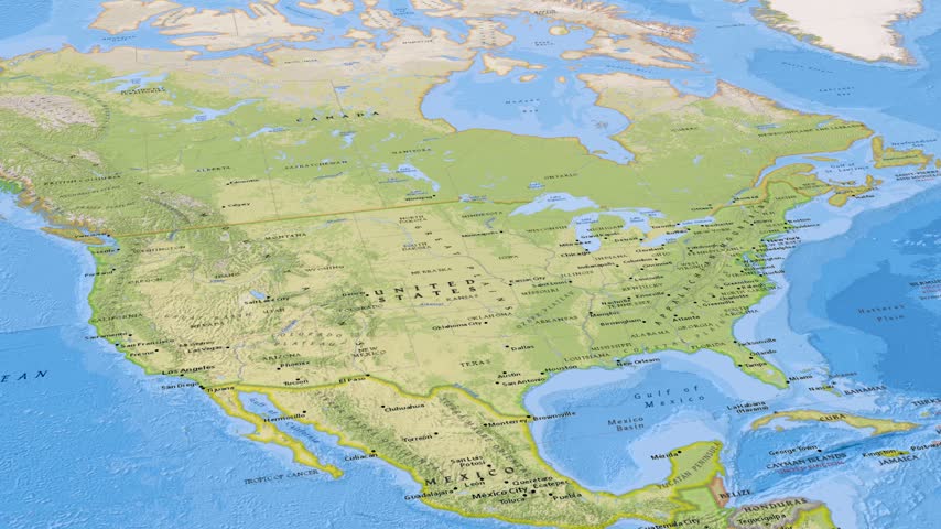
3D United States Map Animation Highlighting Austin City in Texas.
A minimalist digital vector illustration showing the overhead layout of a grand prix race track circuit in Abu Dhabi, presented on a dark background.
Map of Austin, Texas, United States, with a glowing motorway and street network, travelling points of traffic light, a radar sweep and pulsing markers on key districts including Hornsby Bend, Steiner Ranch, Barton Creek, West Lake Hills, animated city navigation background, seamless loop animation.
A conceptual digital illustration featuring glowing triangular towers on a wavy line, with a small craft traveling along a dotted path near a planet.
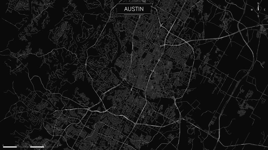
A minimalist map of Austin shows white lines for streets and animated light trails representing traffic, loopable animation


Free Photos > Public Domain Images > 1873 Illustration of Edwin Waller's layout for Austin, Texas (8700/19062)

To view or save this photo in High resolution, just click the photo to see the full image(the full image is much higher quality and not pixelated).

1873 Illustration of Edwin Waller's layout for Austin, Texas. Photo by Augustus Koch.

All free photos on this site are public domain. Please consider giving a credit hyperlink to https://www.goodfreephotos.com if you use the photos on this site using the attribution code in the below box. It is not required but it'd be much appreciated.

This photo is under the CC0 / Public Domain License.