Free Photos (Public Domain Photos),stock Photos, Clipart, images, and Vectors

A large Public Domain photo repository with high resolution free photos and vectors. All copyright free stock photos and royalty free photos, and CC0 Photos. 27000 free and public domain photos, images, clipart, pics and vectors and counting. To view/download a photo in high resolution, please click on the image.

Sponsored Images via Shutterstock: Coupon Code: GFP15 for 15% off
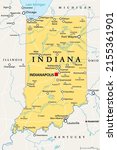
Indiana, IN, political map, with the capital Indianapolis, and most important cities, rivers and lakes. State in the Midwestern region of the United States of America, nicknamed The Hoosier State.
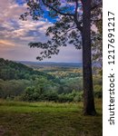
Landscape of Brown County in Southern Indiana with rolling hills and deciduous forest
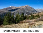
Fall view of Hoosier Pass with artificial lake on Breckenridge Colorado
Indiana Dunes National Park Emblem patch logo illustration on dark background
Indiana Dunes National Park poster illustration design.
Indiana Dunes National Park Emblem patch logo illustration

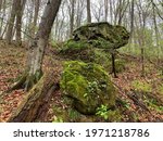
Hoosier Hill is the highest point in Indiana at 1257 feet. To visit you simply drive into  Wayne county slighty Northwest of Bethel, very close to the border with Ohio. There is a sign and a short path you take to the actual marker where a guest registry and a rock marking the high point is. The topography of the land gradually goes up in Wayne county, but the actual high point is a slight raise from the land around it. These are free public domain photos from Hoosier Hill and the land surroudning it.