Free Photos > USA Photos > New Hampshire Photos > Portsmouth Photos > Portsmouth International Airport in New Hampshire (3/18)

To view or save this photo in High resolution, just click the photo to see the full image(the full image is much higher quality and not pixelated).

Portsmouth International Airport in New Hampshire. Photo by USGS.

All free photos on this site are public domain. Please consider giving a credit hyperlink to https://www.goodfreephotos.com if you use the photos on this site using the attribution code in the below box. It is not required but it'd be much appreciated.

This photo is under the CC0 / Public Domain License.

Sponsored Images via Shutterstock:
Portsmouth, New Hampshire, USA townscape at dusk.
Map of Portsmouth International Airport in Portsmouth, New Hampshire (US). IATA-code: PSM. Airport diagram with runways, taxiways, apron, parking areas and buildings. Map data from OpenStreetMap.
Downtown Portsmouth, NH (New Hampshire) Aerial Photo Summer Day
The historic houses in Portsmouth, New Hampshire, USA
Portsmouth Harbor Lighthouse and Fort Constitution State Historic Site aerial view  in summer, New Castle, New Hampshire, USA.
An aerial view of historic buildings around Downtown Portsmouth in New Hampshire in the fall
Coupon Code: GFP15 for 15% off


Similar Images
Dartmouth College in Portsmouth, New Hampshire Great Bay National Estuarine near Portsmouth, New Hampshire  Portsmouth International Airport in New Hampshire Moffatt-Ladd House in Portsmouth, New Hampshire Waterfront in Portsmouth, New Hampshire in 1917 Portsmouth Harbor in New Hampshire Piscataqua River Tugboat in Portsmouth, New Hampshire Downtown Portsmouth, New Hampshire on the Waterfront John Paul Jones House in Portsmouth, New Hampshire Market Square building in Portsmouth, New Hampshire Governor Langdon House in Portsmouth, New Hampshire Governor Goodwin Mansion in Portsmouth, New Hampshire Old Custom House & Post Office in Portsmouth, New Hampshire Former Rockingham Hotel in Portsmouth, New Hampshire Lighthouse sky and landscape in Portsmouth, New Hampshire Docks at Portsmouth, New Hampshire Jefferson Street at the Strawbery Banke Museum in Portsmouth, New Hampshire Aerial View of Pease Air National Guard Base near Portsmouth, New Hampshire

Sponsored Footage via Shutterstock:
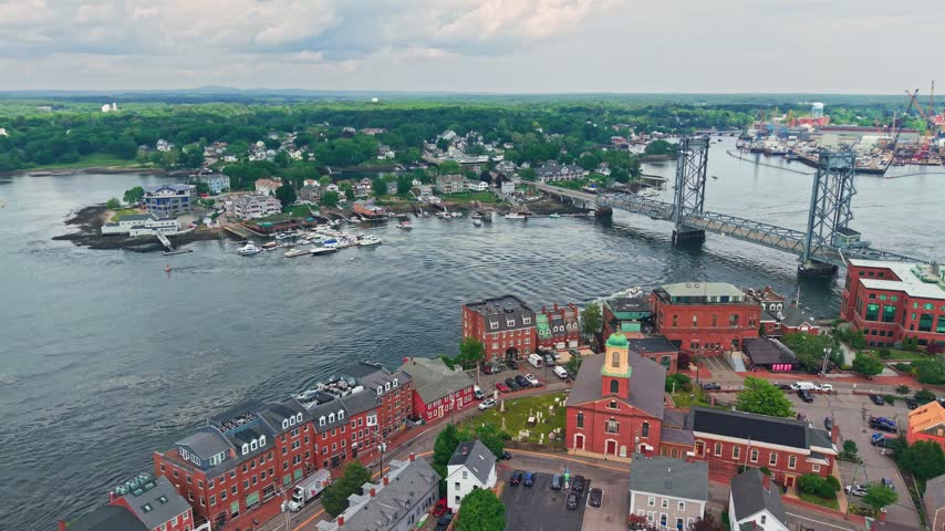
Aerial view of downtown Portsmouth, New Hampshire, its historic brick buildings and the Memorial Bridge over the Piscataqua River, USA.
portsmouth new hampshire aerial orbit in new england
aerial orbit over portsmouth new hampshire
Pemigewasset River and New Hampton historic center aerial view from Hersey Mountain in summer, with White Mountain at the background, New Hampton, New Hampshire NH, USA.
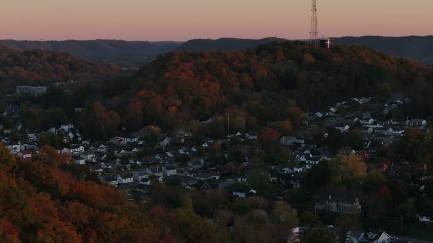
Aerial view of the town of Portsmouth nestled in a valley surrounded by autumn forest and hills during sunset in Portsmouth, Ohio, United States.
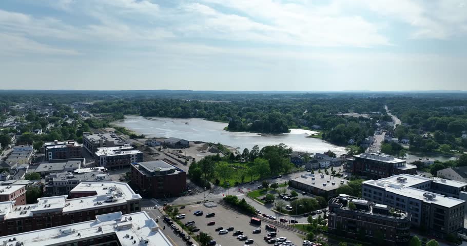
Drone view of lake in Portsmouth, New Hampshire on a cloudy summer day


Free Photos > USA Photos > New Hampshire Photos > Portsmouth Photos > Portsmouth International Airport in New Hampshire (3/18)

To view or save this photo in High resolution, just click the photo to see the full image(the full image is much higher quality and not pixelated).

Portsmouth International Airport in New Hampshire. Photo by USGS.

All free photos on this site are public domain. Please consider giving a credit hyperlink to https://www.goodfreephotos.com if you use the photos on this site using the attribution code in the below box. It is not required but it'd be much appreciated.

This photo is under the CC0 / Public Domain License.