Search Gallery:
Aerial Photo of Darwin, Australia (9/9)
Aerial Photo of Darwin, Australia (9/9)
Search Gallery:
Aerial Photo of Darwin, Australia (9/9)
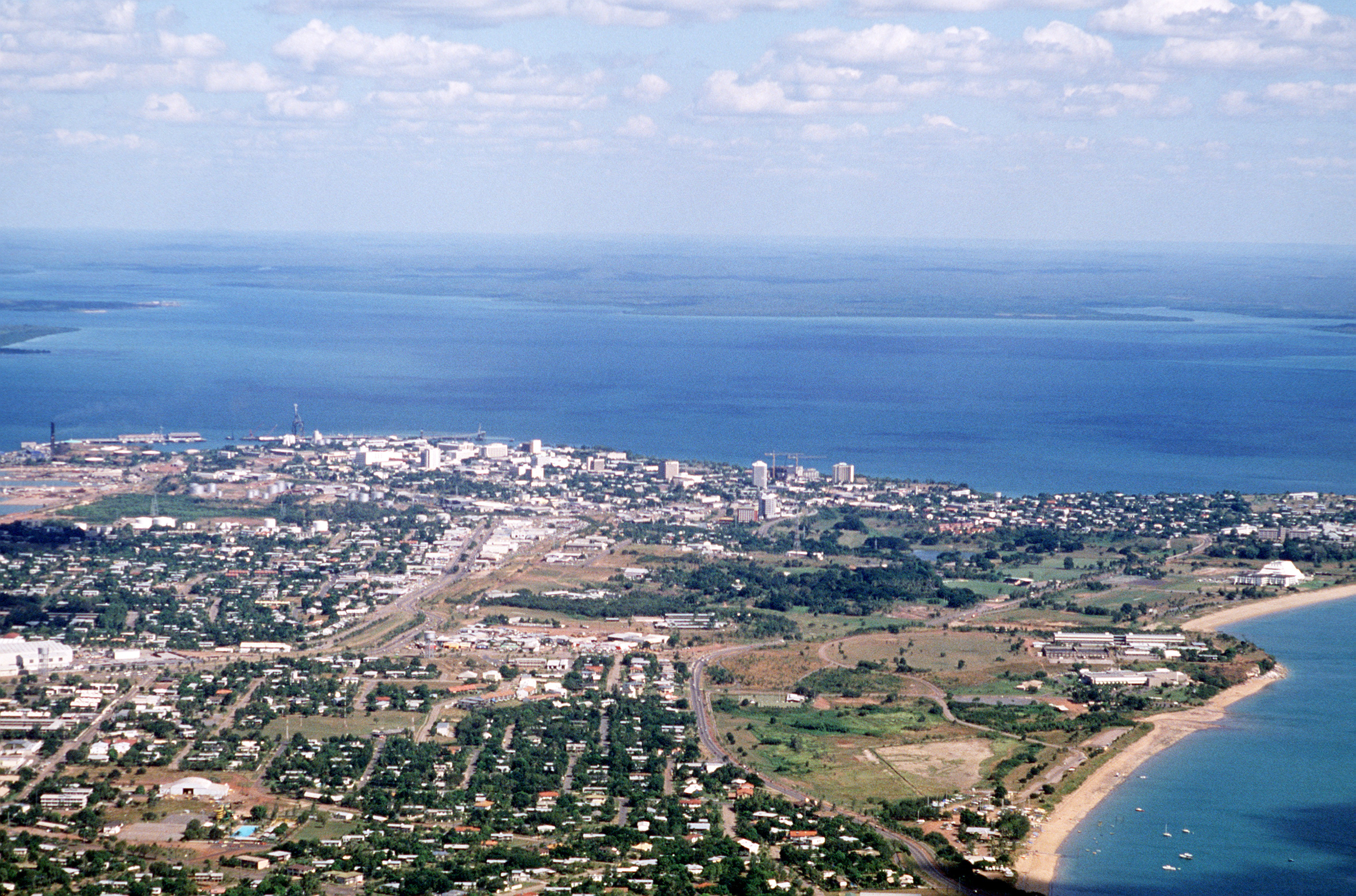
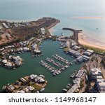
Free Photos > Australia Photos > Northern Territory Photos > Darwin Photos > Aerial Photo of Darwin, Australia (9/9) An aerial view of the city as seen from one of the aircraft being used during PITCH BLACK 84, a joint US, Australian and New Zealand exercise. Photo by MSGT DAVID N. CRAFT. All free photos on this site are public domain. Please consider giving a credit hyperlink to https://www.goodfreephotos.com if you use the photos on this site using the attribution code in the below box. It is not required but it'd be much appreciated. |
| ||||||||||||||||||||||||||||||||||||||||||||||||||
© Copyright 2024 Free Photos - Free Images. All rights reserved. Designed by CreativeMug | Zenphoto