Search Gallery:
Floodwaters of the Mississippi in Arkansas and Tennessee (5/7)
Floodwaters of the Mississippi in Arkansas and Tennessee (5/7)
Search Gallery:
Floodwaters of the Mississippi in Arkansas and Tennessee (5/7)
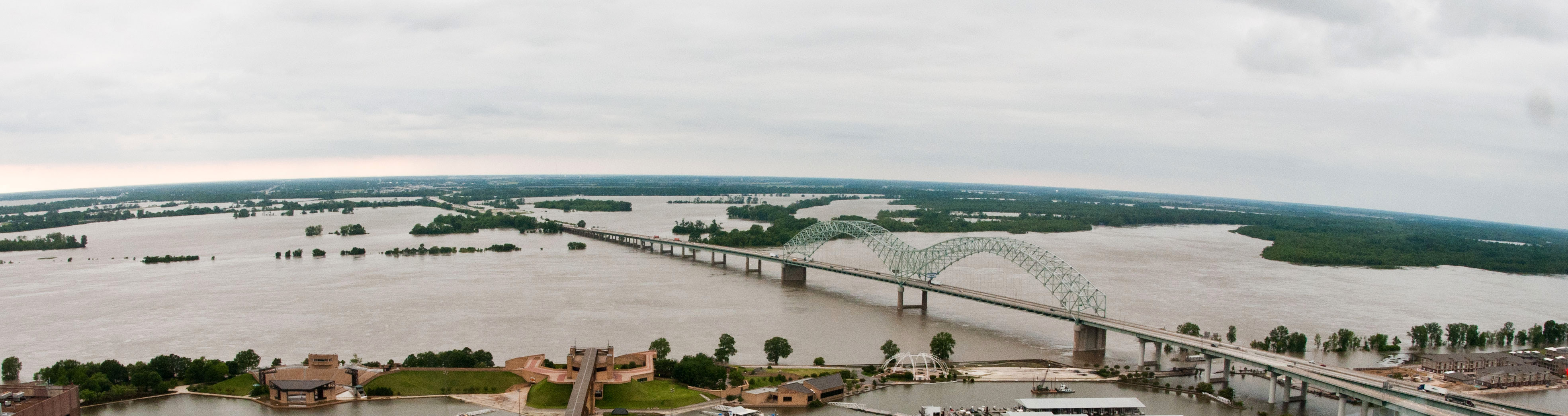
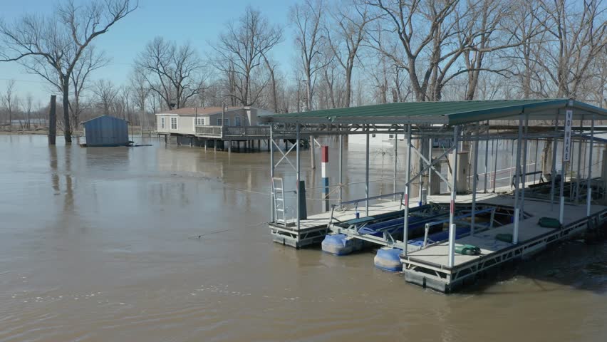
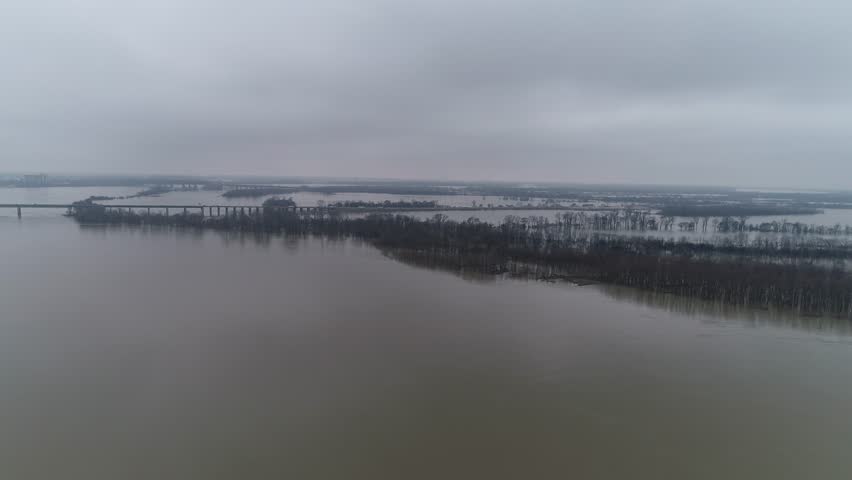
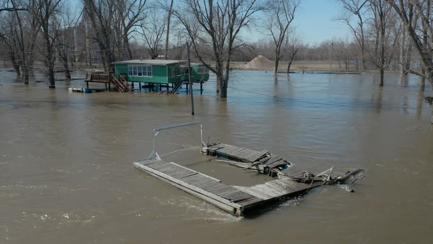
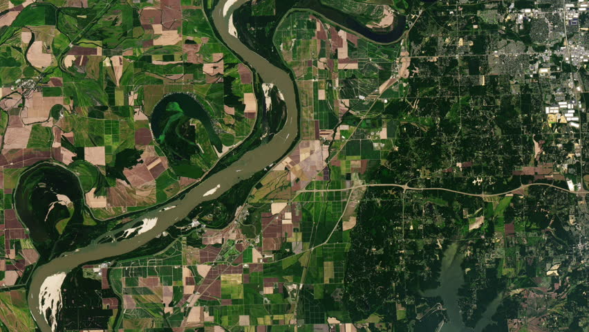
Free Photos > USA Photos > Arkansas Photos > Other Arkansas > Floodwaters of the Mississippi in Arkansas and Tennessee (5/7) Free Photo of Aerial view a few days before the floodwaters crested in Arkansas and Tennessee, three days prior to Saturday, May 14. 2011. USDA Photos by Lance Cheung. All free photos on this site are public domain. Please consider giving a credit hyperlink to https://www.goodfreephotos.com if you use the photos on this site using the attribution code in the below box. It is not required but it'd be much appreciated.
|
| ||||||||||||||||||||||||||||||||||||||||||||||||||
© Copyright 2024 Free Photos - Free Images. All rights reserved. Designed by CreativeMug | Zenphoto