Search Gallery:
Elevation marker (10/17)
Elevation marker (10/17)
Search Gallery:
Elevation marker (10/17)
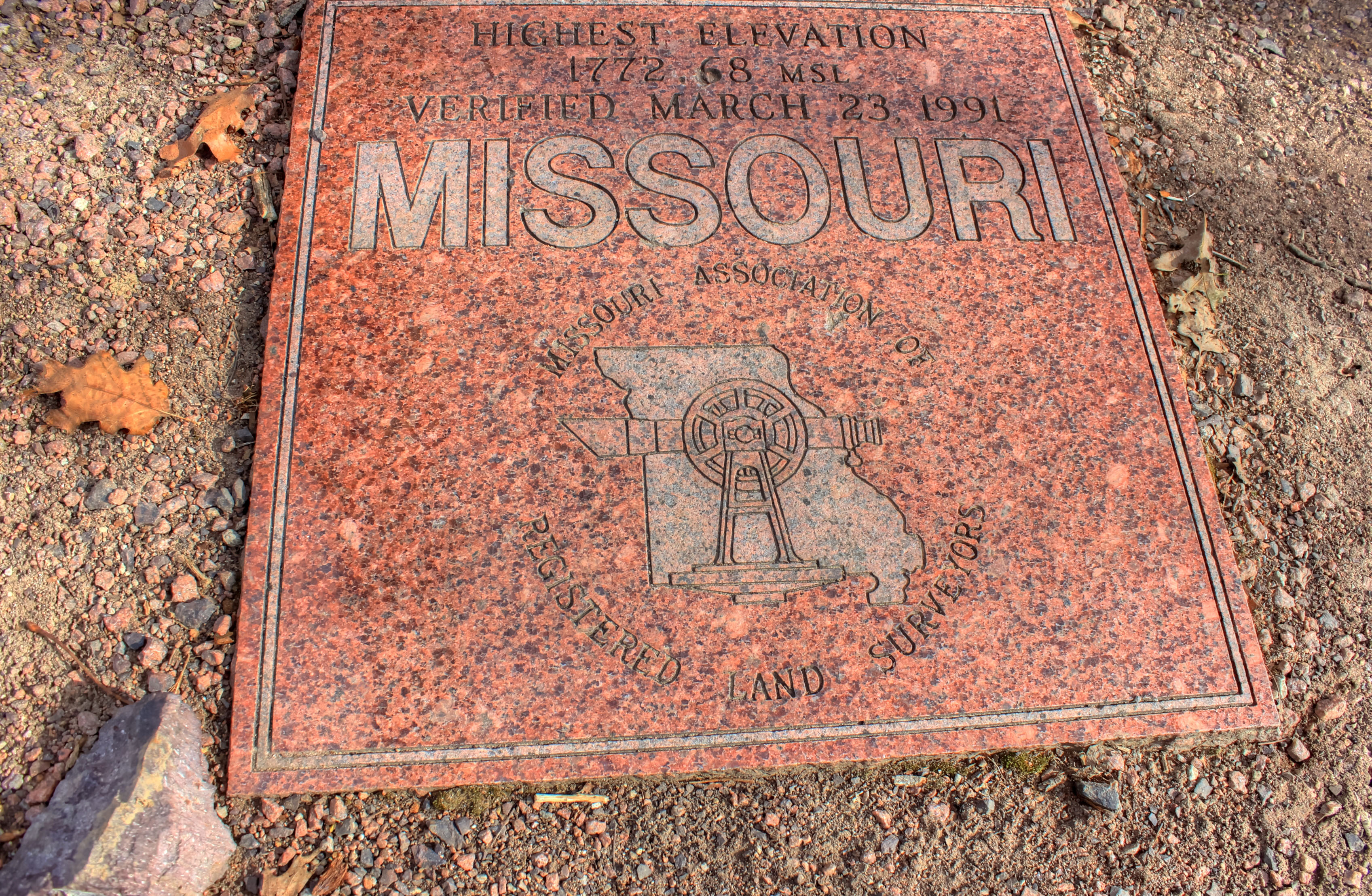
Free Photos > USA Photos > Missouri Photos > Taum Sauk Mountain State Park Photos > Elevation marker (10/17) The plaque that marks the highest point in Missouri. State high points completed 3/50. All free photos on this site are public domain. Please consider giving a credit hyperlink to https://www.goodfreephotos.com if you use the photos on this site using the attribution code in the below box. It is not required but it'd be much appreciated. |
| ||||||||||||||||||||||||||||||||||||||||||||||||||
The plaque that marks the highest point in Missouri. State high points completed 3/50.
© Copyright 2024 Free Photos - Free Images. All rights reserved. Designed by CreativeMug | Zenphoto