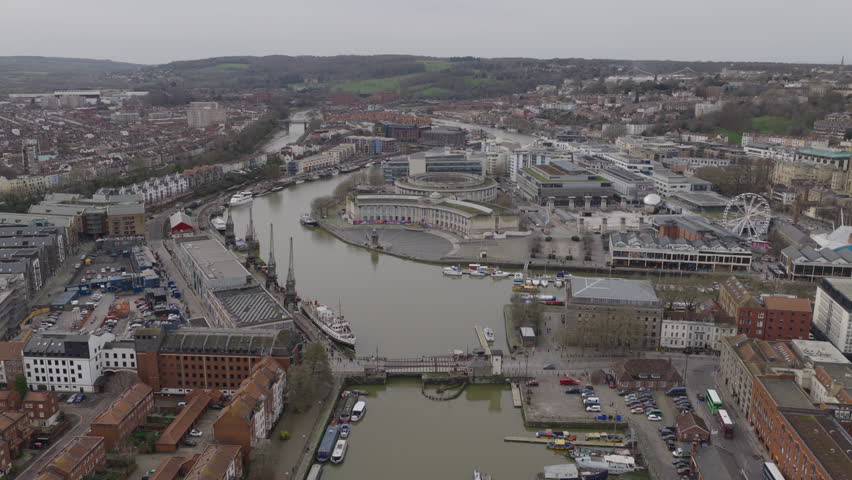
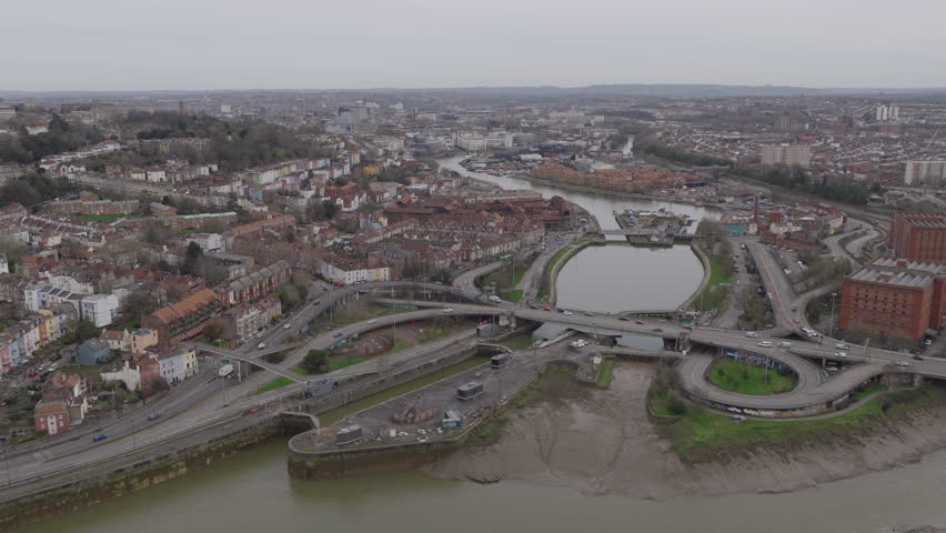
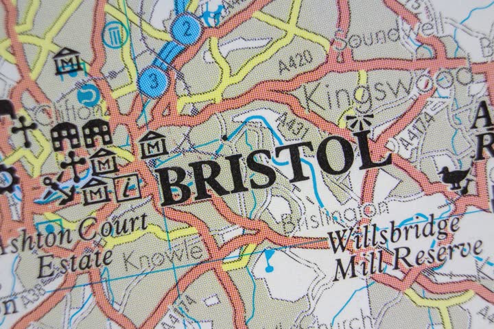
Search Gallery:
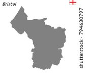
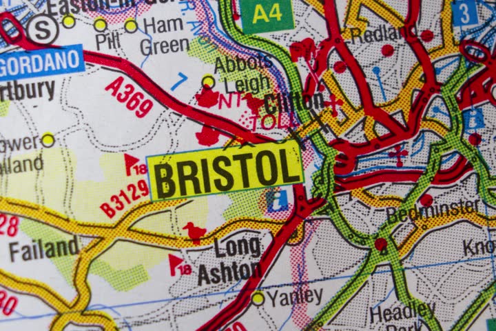
A 1946 map of Bristol in England (5/12)
A 1946 map of Bristol in England (5/12)
Search Gallery:
A 1946 map of Bristol in England (5/12)
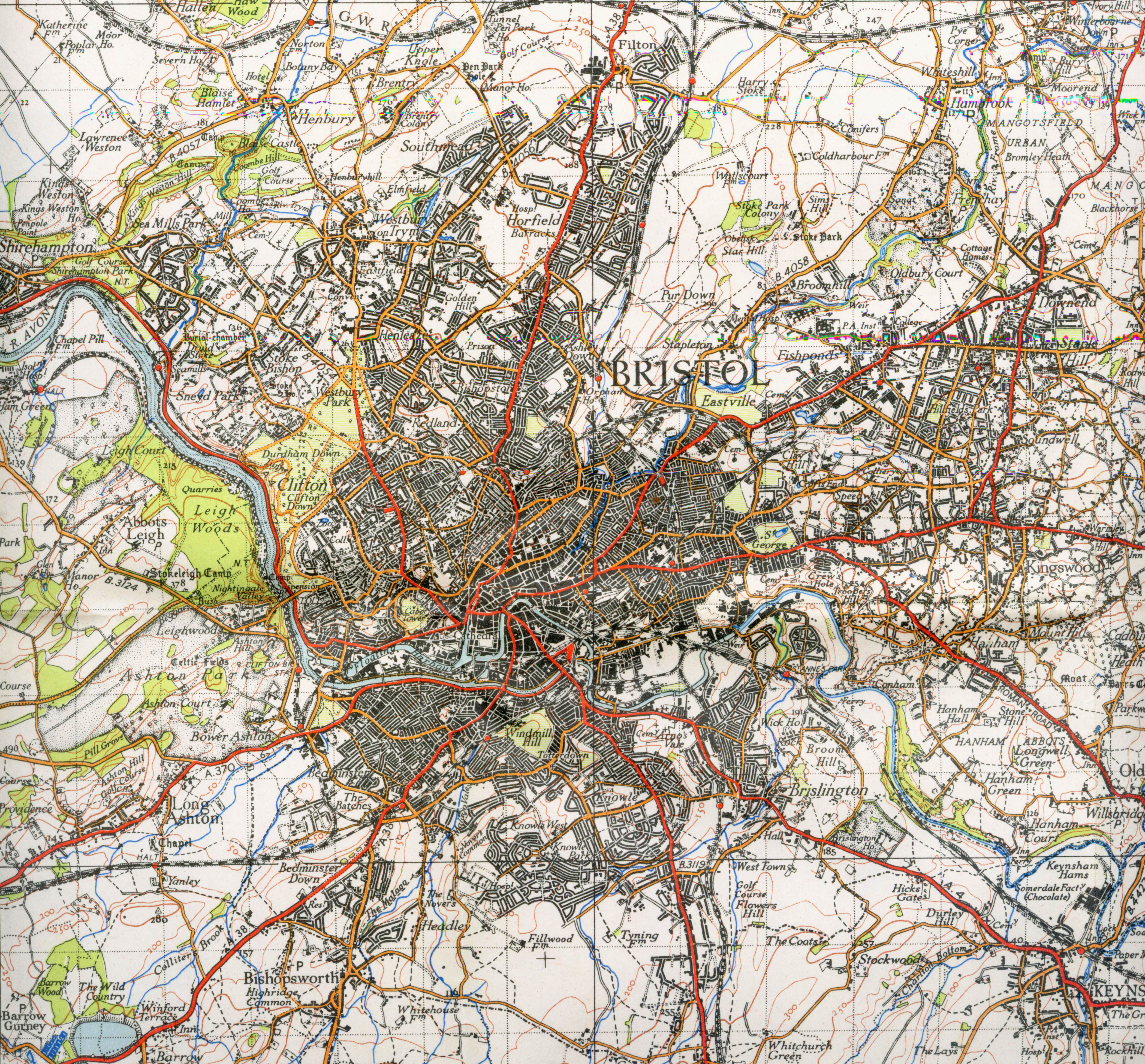
Free Photos > England Photos > Bristol Photos > A 1946 map of Bristol in England (5/12) A 1946 map of Bristol in England. Photo by Public Domain. All free photos on this site are public domain. Please consider giving a credit hyperlink to https://www.goodfreephotos.com if you use the photos on this site using the attribution code in the below box. It is not required but it'd be much appreciated. |
| ||||||||||||||||||||||||||||||||||||||||||||||||||
© Copyright 2024 Free Photos - Free Images. All rights reserved. Designed by CreativeMug | Zenphoto