Free Photos
 > Greenland Photos >
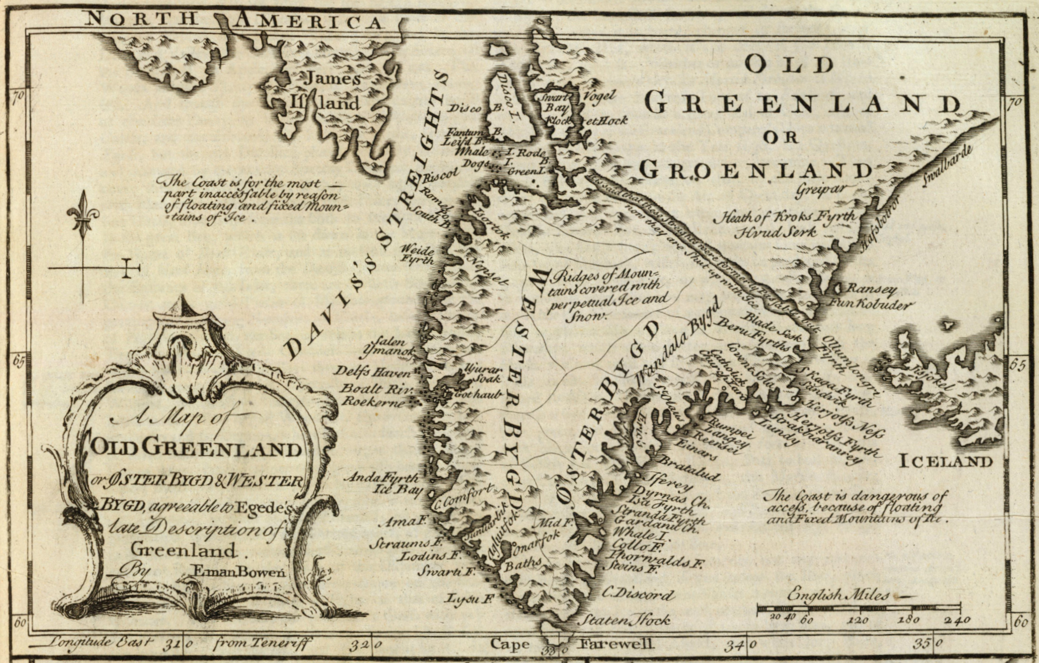
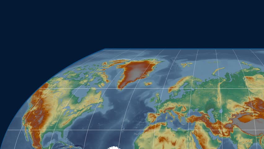
Map
based
on
Egede's
descriptions
and
misconceptions
of
Greenland (6/24)
To view or save this photo in High resolution, just click the photo to see the full image(the full image is much higher quality and not pixelated).
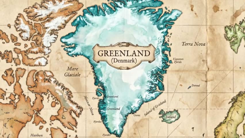
Map
based
on
Egede's
descriptions
and
misconceptions
of
Greenland.
Photo
by
David
Rumsey
Collection.
All free photos on this site are public domain. Please consider giving a credit hyperlink to https://www.goodfreephotos.com if you use the photos on this site using the attribution code in the below box. It is not required but it'd be much appreciated.
This photo is under the CC0 / Public Domain License.
|
|
Sponsored Images via Shutterstock: |
| | | | | | | | | |
| Coupon Code: GFP15 for 15% off |
|
Sponsored Footage via Shutterstock: |
| | | | | | | | | |
|
|