Search Gallery:
Aerial view of Mississippi River floods in Mississippi (22/33)
Aerial view of Mississippi River floods in Mississippi (22/33)
Search Gallery:
Aerial view of Mississippi River floods in Mississippi (22/33)
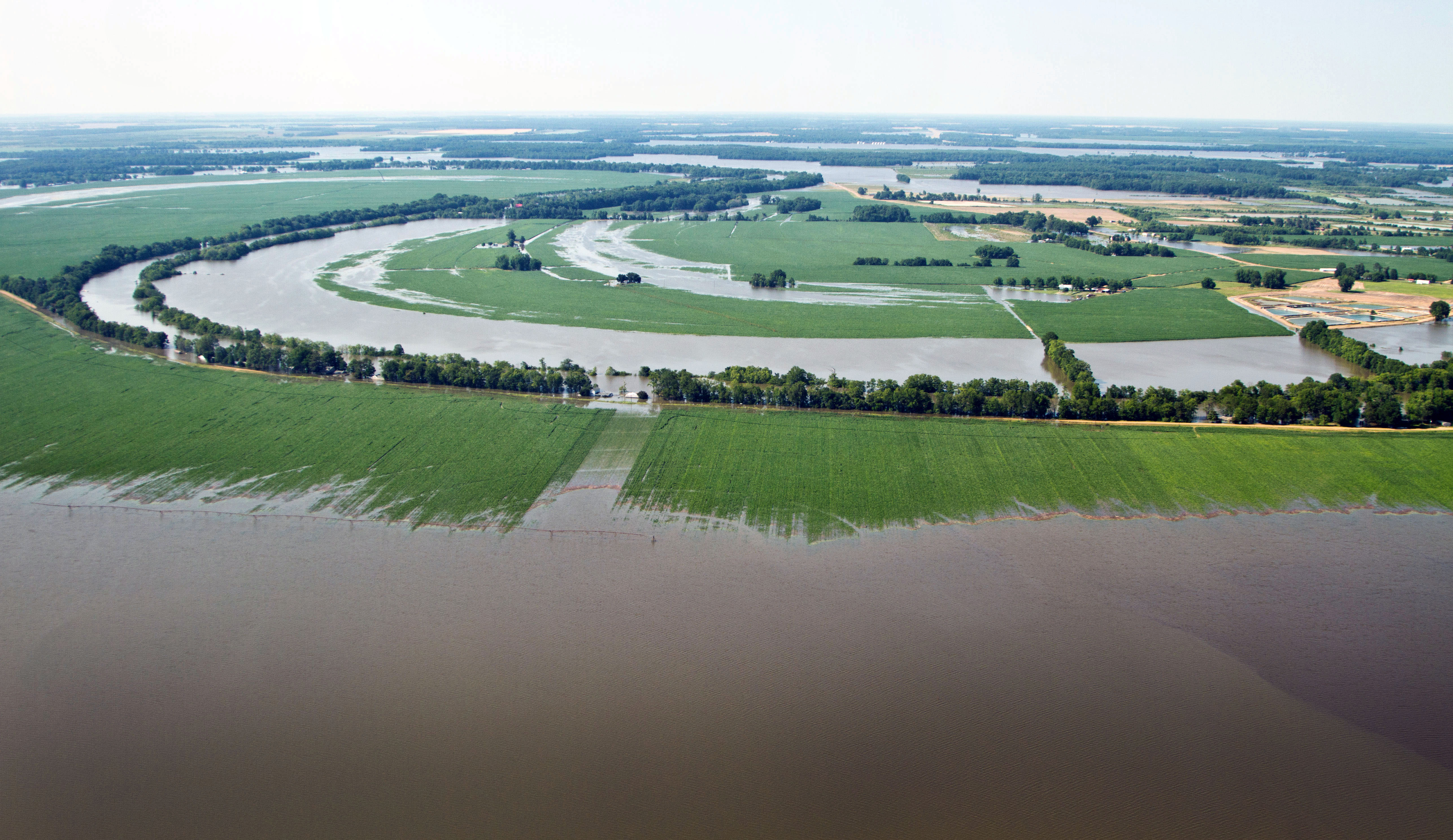
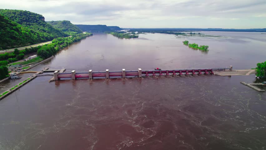
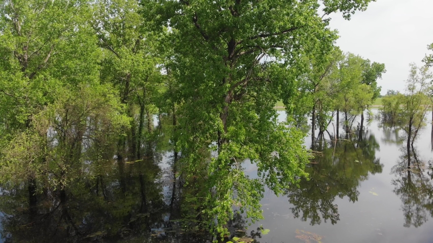
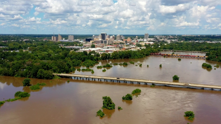
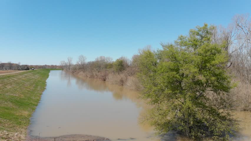
Free Photos > USA Photos > Mississippi Photos > Other Mississippi Photos > Aerial view of Mississippi River floods in Mississippi (22/33) Aerial view of Mississippi River flood levels and inundation of farm, wilderness, and populated areas, on Thursday, May 19, 2011. from the MS side. Onboard passengers included Representative Bennie Thompson (blue shirt), and U.S. Department of Agricultureâs Undersecretary for Rural Development Dallas Tonsager (white shirt); Acting Under Secretary Farm and Foreign Agriculture Service Michael Scuse (black coat); Rural Development State Director Trina N. George (tan blouse) and County Executive Director Aaron C. Robinson Sr. (plaid shirt). Aerial platform was a UH-60 Blackhawk commanded by Col. Kennedy and his flight crew from the Army Aviation Support Facility #1 at Hawkins Field in Jackson. USDA Photo by Lance Cheung. Photo by U.S. Department of Agriculture. All free photos on this site are public domain. Please consider giving a credit hyperlink to https://www.goodfreephotos.com if you use the photos on this site using the attribution code in the below box. It is not required but it'd be much appreciated.
|
| ||||||||||||||||||||||||||||||||||||||||||||||||||
© Copyright 2024 Free Photos - Free Images. All rights reserved. Designed by CreativeMug | Zenphoto