Search Gallery:
Hurricane Matthew Damage near Laurel Bay, South Carolina (11/28)
Hurricane Matthew Damage near Laurel Bay, South Carolina (11/28)
Search Gallery:
Hurricane Matthew Damage near Laurel Bay, South Carolina (11/28)
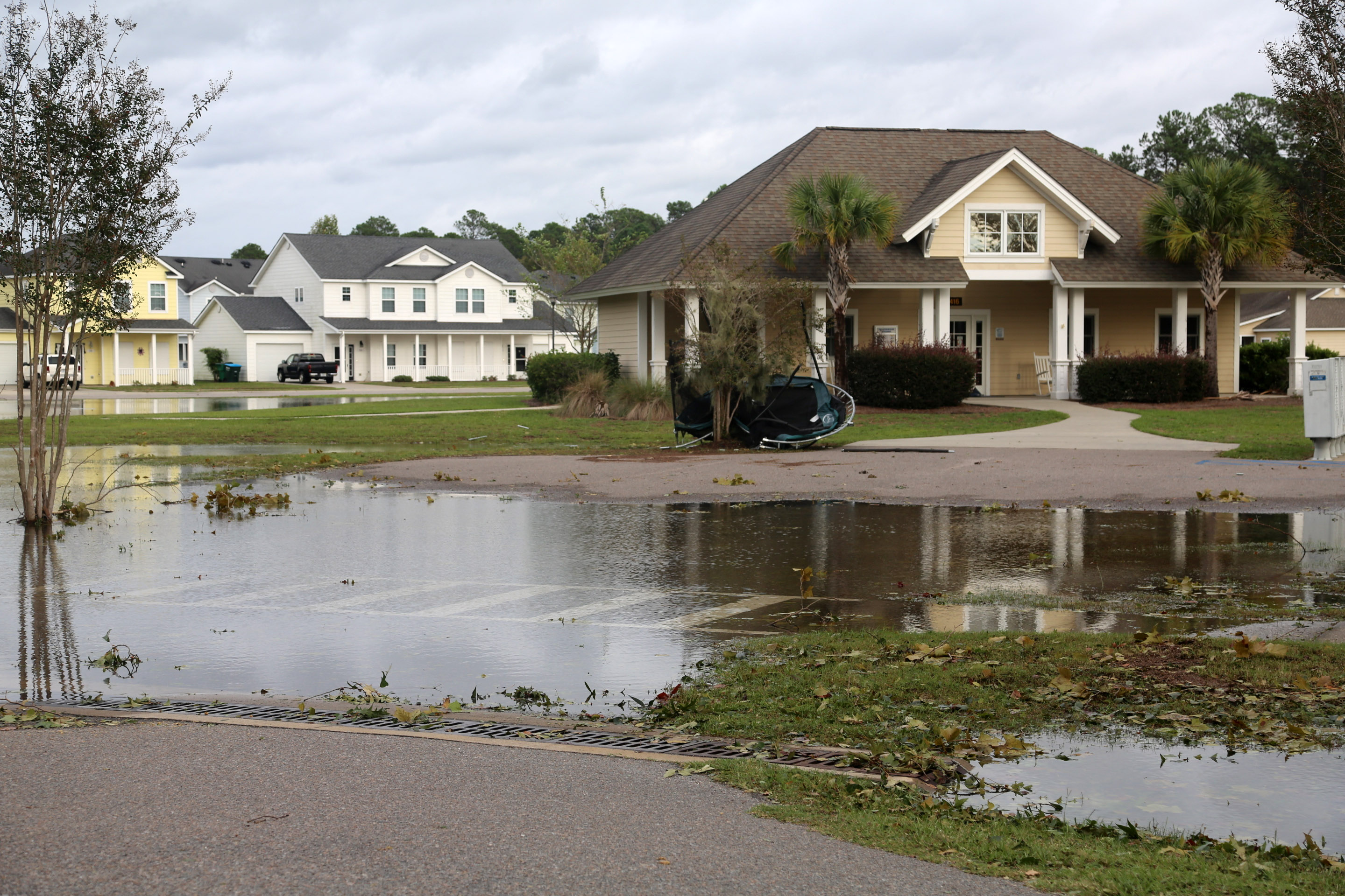
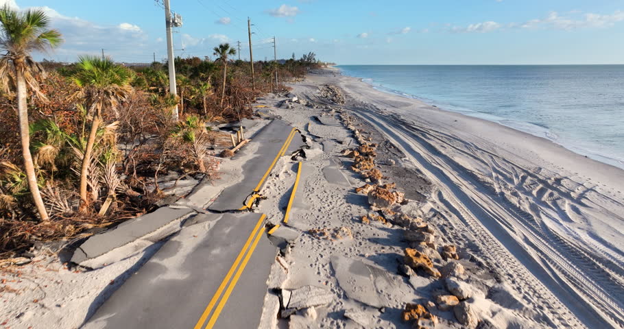
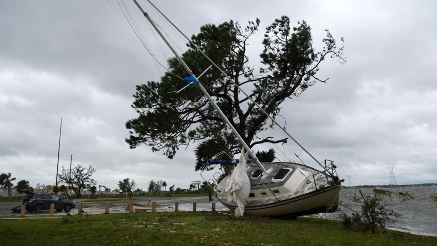
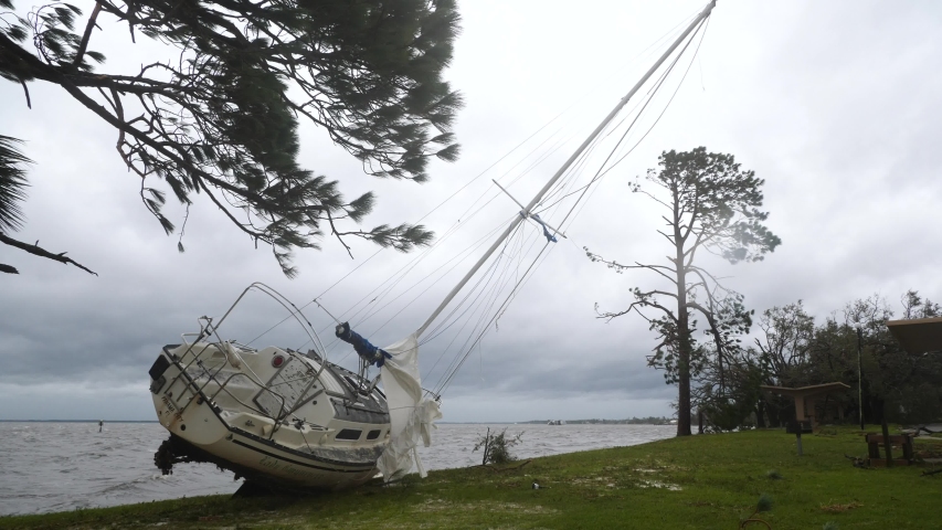
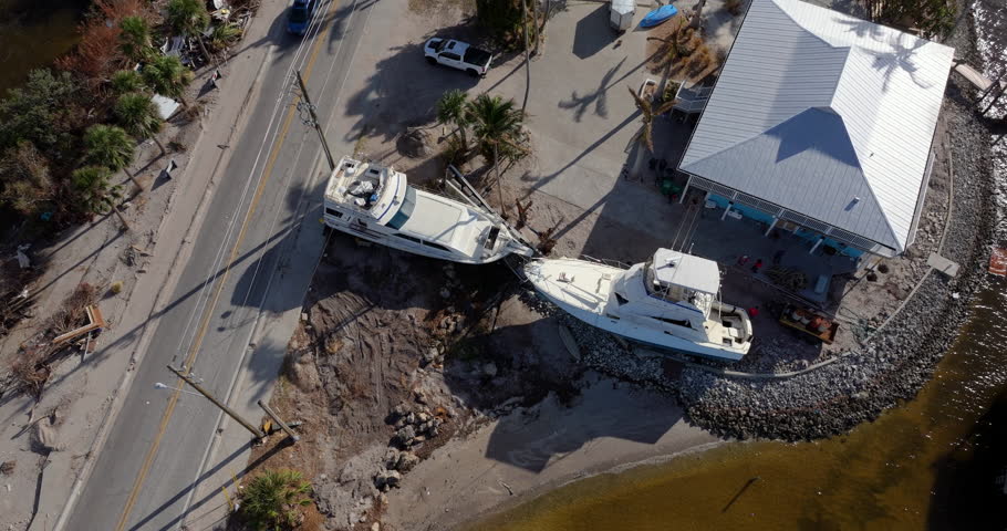
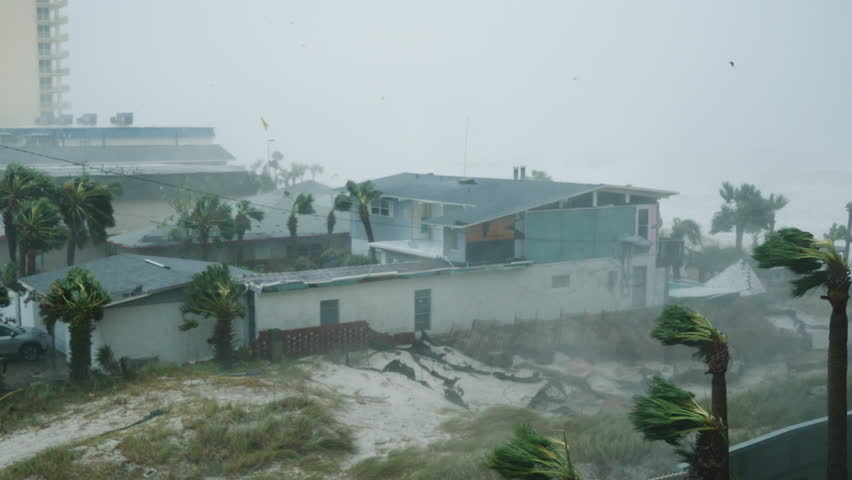
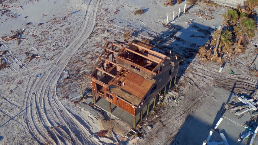
Free Photos > USA Photos > South Carolina Photos > Other South Carolina Photos > Hurricane Matthew Damage near Laurel Bay, South Carolina (11/28) Downed trees and standing water are signs that Hurricane Matthew has made its way through Laurel Bay. Matthew began impacting Marine Corps Air Station Beaufort and Laurel Bay in the afternoon Oct. 7 and lasted into the mid-morning on Oct. 8. Marines, Sailors and Civilians with the remain behind element began assessment and recovery operations as soon as it was safe to do so. The recovery efforts will continue through Oct. 9. All free photos on this site are public domain. Please consider giving a credit hyperlink to https://www.goodfreephotos.com if you use the photos on this site using the attribution code in the below box. It is not required but it'd be much appreciated.
|
| ||||||||||||||||||||||||||||||||||||||||||||||||||
© Copyright 2024 Free Photos - Free Images. All rights reserved. Designed by CreativeMug | Zenphoto