Search Gallery:


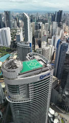
Makati City Urban area in the Philippines (23/37)
Search Gallery:

Makati City Urban area in the Philippines (23/37)
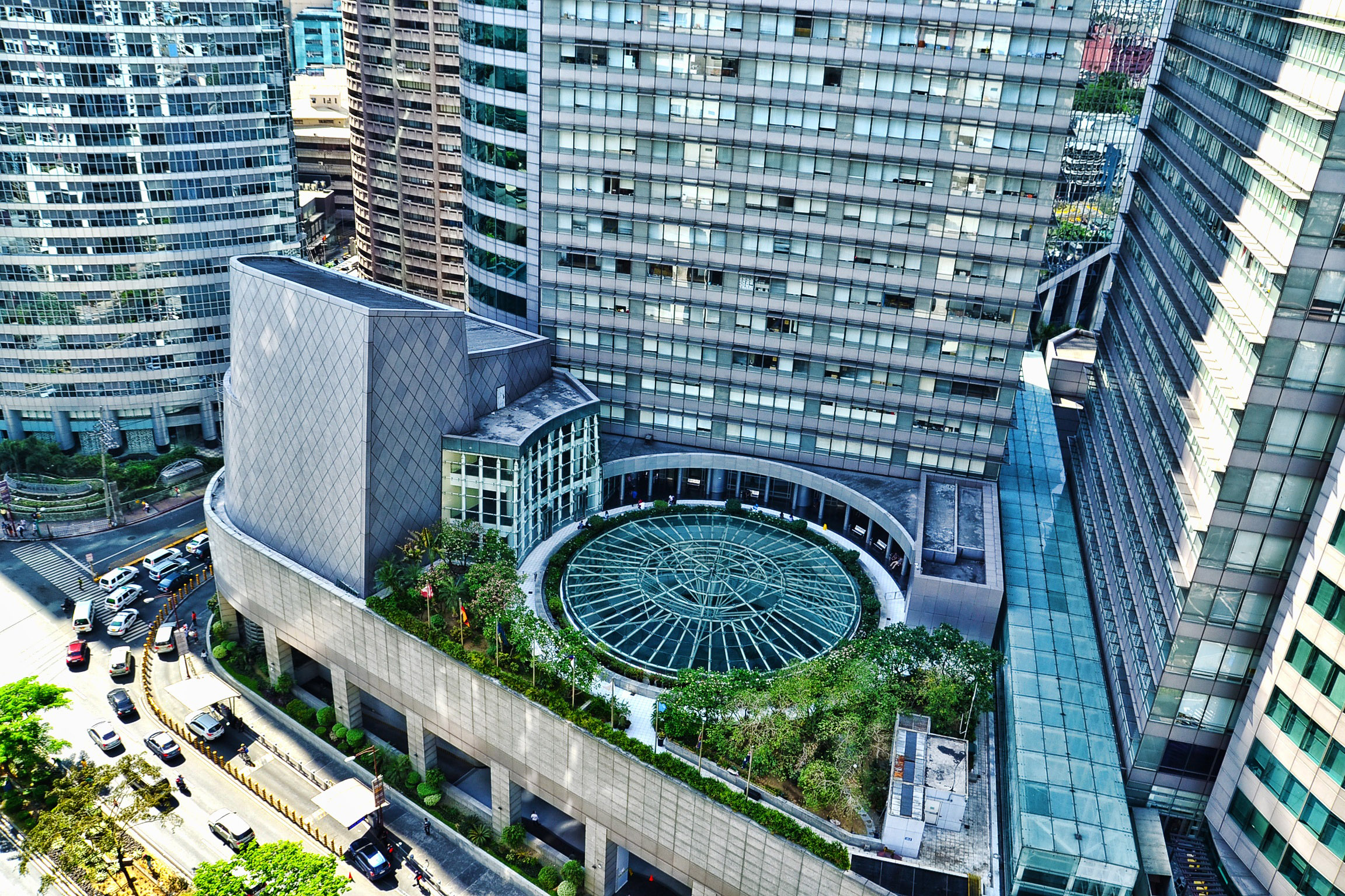

Free Photos > Philippines Photos > Other Philippines Photos > Makati City Urban area in the Philippines (23/37)

To view or save this photo in High resolution, just click the photo to see the full image(the full image is much higher quality and not pixelated).

Makati City Urban area in the Philippines. Photo by lifelines.

All free photos on this site are public domain. Please consider giving a credit hyperlink to https://www.goodfreephotos.com if you use the photos on this site using the attribution code in the below box. It is not required but it'd be much appreciated.

This photo is under the CC0 / Public Domain License.

Sponsored Images via Shutterstock:
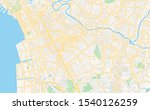
Printable street map of Makati, Philippines. Map template for business use.
Makati. Manila. Philippines.Urban sketch. Hand drawn vector illustration.
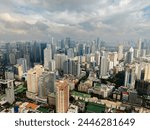
Residential area and office buildings in Makati City. Skyline in Metro Manila, Philippines.
 Makati city architecture- is one of the 17 cities that make up Metro Manila. Philippines
High detailed illustration map City of Makati, World map country vector illustration template
Symbol Map of the Highly Urbanized City Makati (Philippines) showing the area with a pattern of black circles
Coupon Code: GFP15 for 15% off


Similar Images
Binondo gothic church in The Philippines Batan Island with Farm Terraces in the Philippines Tactical Vehicles moving in the Philippines House on the Seaside on cliff Trees, forest, greenery, and Jungle A mountain road with rocks around a bend Island with house in the ocean in the Philippines Rocks, shoreline, and Landscape at El Nido, Philippines Watercraft in the Bay at El Nido, Philippines Standing on Mount Capistrano looking out at the landscape in the Philippines Tropical Resort in the Philippines by the Ocean Landscape of the Bay at Baler, Philippines Hiking in the Hills above the Sea of Clouds on Mount Pulag, Philippines Mount Pico De Loro in Nasugbu, Philippines Seaside landscape at Dawn in Boracay, Malay, Philippines Sulu Sea landscape in the Philippines Hut surrounded by Tropical Palm Trees in the Philippines Landscape and forest at the Riverbank in the Philippines Boats at the Dock at Palawan, Philippines Palm Forest in the Philippines Coat of Arms of the Philippines Flag of the Philippines Makati City Urban area in the Philippines Waterfalls landscape in the Philippines Pandanon Island in the Philippines Fisherman bringing in the boat in the Philippines Torrenting Water coming down the waterfalls in the Philippines Mountain rising above the landscape of the town in the Philippines Women standing on the Hillside in the Philippines Waters of Lake Buhi in the Philippines Mount Canlaon landscape in the Philippines Sunset on the Coastline Landscape Virgin Island in the sea in the Philippines Hut and Stream in the landscape with clouds behind in the Philippines Puerto Galera with a boat in the sea Pamalican Island beach landscape in the Philippines Windmill Farm on the shore in the Philippines

Sponsored Footage via Shutterstock:
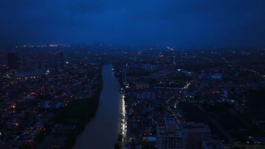
Drone slowly slides left, Makati City Metro Manila Philippines at night skyline
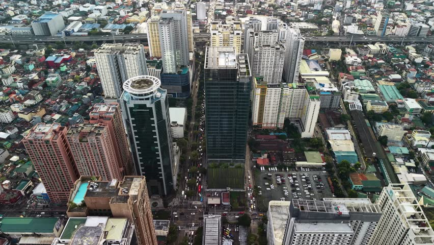
The camera drifts at high altitude in an oblique top-down angle over the Makati central business district in Manila, Philippines, revealing a wide multi-lane boulevard that cuts through two rows of towering high-rise buildings. In the foreground a distinctive tower with a circular rooftop helipad or observation deck anchors the left side of the frame, its curved architecture contrasting with the angular glass facades of neighboring corporate structures. Below, open parking lots filled with vehicles and a green sports court occupy the gaps between buildings, while the boulevard itself carries steady streams of traffic in both directions. The midground extends into a dense tapestry of residential quarters with low-rise rooftops in muted tones of gray, beige, and rust stretching outward from the commercial core. Overcast skies produce soft, even illumination that eliminates harsh shadows and allows uniform detail across the entire urban landscape, from reflective glass panels on the skyscrapers to individual cars on the roads below. The color palette leans toward cool grays and greens with occasional warm accents from terracotta rooftops and building facades. An elevated highway overpass is visible in the far background, tracing a curved path above the residential sprawl and reinforcing the layered infrastructure of this metropolitan area. The overall mood conveys the organized density and vertical ambition of a Southeast Asian financial hub surrounded by the organic spread of everyday city life.
Stunning vertical aerial footage capturing a full 360-degree panoramic rotation high above the Makati Central Business District in Metro Manila, Philippines. This dynamic revolving shot showcases the impressive concentration of contemporary high-rise buildings, corporate headquarters, and residential condominiums that define one of Southeast Asia
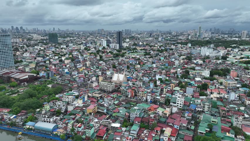
Beyond the skyscrapers lies the soul of the city — Makati’s residential charm from a bird’s-eye view. 🚁✨ #Makati #DroneView
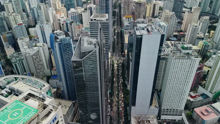
The drone holds a wide elevated view over the Makati financial district, centering a long urban avenue while surrounding office towers and high-rises extend outward to fill most of the frame. Compared with tighter city canyon shots, this composition gives more breathing room around the vertical core and shows how the business district connects to lower neighborhoods and greener areas beyond the dense cluster. The central corridor acts as the main organizing line, with moving vehicles visible below and repeated building facades stepping backward into the distance. Architectural variety is clear, including glass curtain walls, white office blocks, blue-toned towers, rooftop mechanical structures, and cylindrical or rectangular forms that break up the skyline. Layered clouds cover the sky and keep the light soft, which helps preserve detail in bright rooftops and reflective surfaces without harsh contrast. If readable logos remain visible in the full clip this shot should be treated as editorial, but visually it functions as a broad establishing aerial of Makati
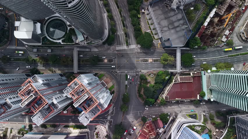
The drone hovers in a straight-down orientation above a major Makati intersection, turning the surrounding high-rise district into a precise diagram of streets, bridges, rooftops, and building footprints. A pedestrian footbridge spans across the roadway and immediately becomes the central organizing element of the frame, linking both sides of the avenue and adding a strong infrastructural feature rarely visible in standard skyline compositions. Around it, multiple traffic lanes, turning pockets, planted medians, and crossing markings reveal the complexity of circulation within the district. Curved tower edges, rectangular rooftops, and compact service areas at the corners of the frame show how the street network is compressed by dense urban development. Vehicles appear small against the wide roadway surfaces, while trees and landscaped patches soften the otherwise hard geometry of asphalt, concrete, and glass. The vertical angle emphasizes function and layout, turning the district into a readable urban map where mobility corridors and building footprints interlock. Lighting remains even and factual, with no strong directional shadows, allowing the footbridge, lane structure, and building edges to remain clear throughout the composition. The scene represents a dense and organized section of Makati where mobility infrastructure and high-rise development intersect within a compact metropolitan core.


Free Photos > Philippines Photos > Other Philippines Photos > Makati City Urban area in the Philippines (23/37)

To view or save this photo in High resolution, just click the photo to see the full image(the full image is much higher quality and not pixelated).

Makati City Urban area in the Philippines. Photo by lifelines.

All free photos on this site are public domain. Please consider giving a credit hyperlink to https://www.goodfreephotos.com if you use the photos on this site using the attribution code in the below box. It is not required but it'd be much appreciated.

This photo is under the CC0 / Public Domain License.