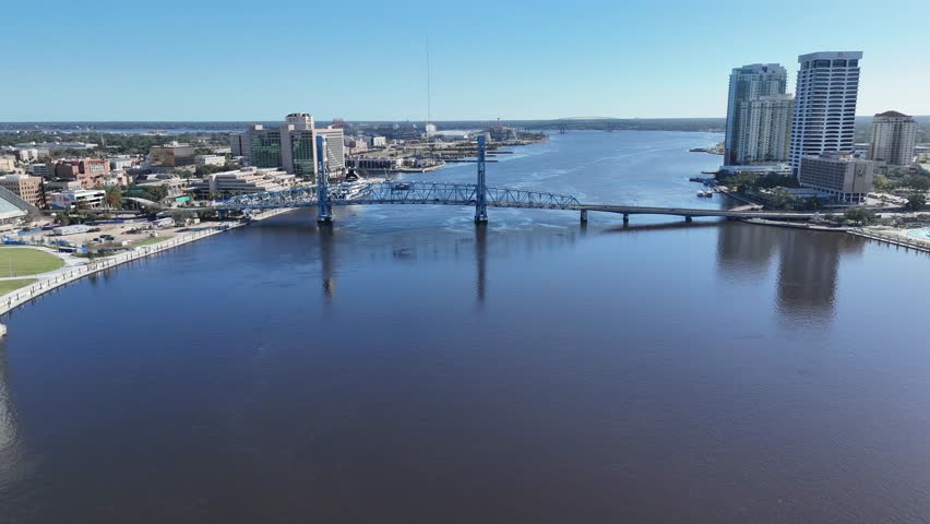
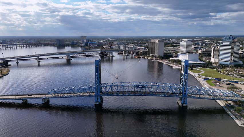
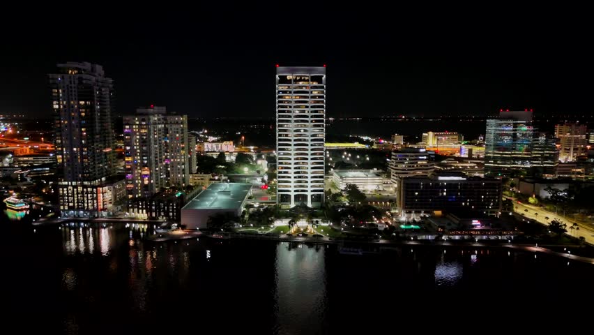
Search Gallery:
Aerial View of Jacksonville, Florida (23/23)
Aerial View of Jacksonville, Florida (23/23)
Search Gallery:
Aerial View of Jacksonville, Florida (23/23)
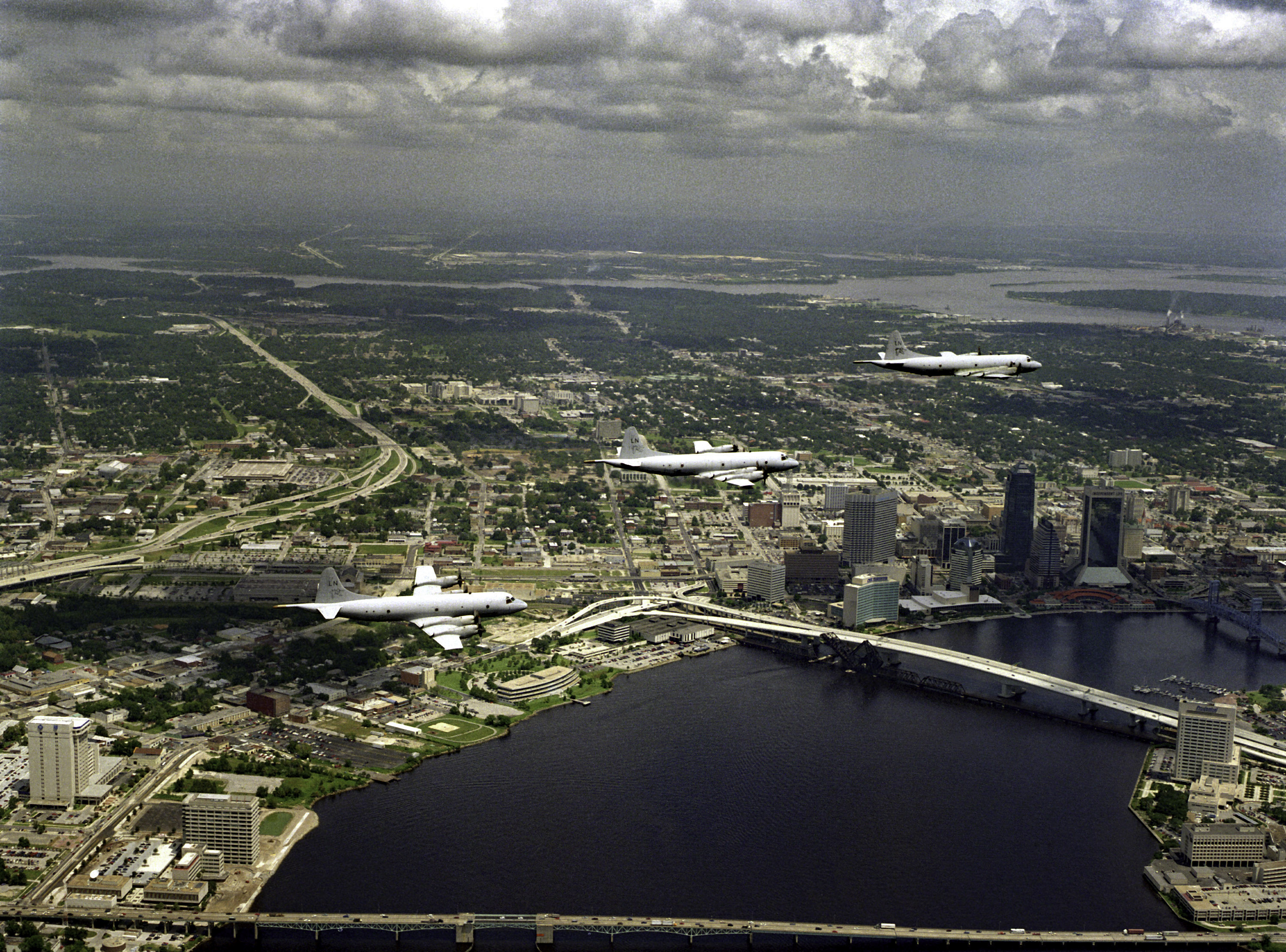
Free Photos > USA Photos > Florida Photos > Jacksonville Photos > Aerial View of Jacksonville, Florida (23/23) An aerial view of three P-3C Orion aircraft of Patrol Squadron 45 (VP-45) in-flight over the city. The Fuller-Warren Bridge carrying Interstate 95 traffic is at the bottom of the frame. The newly opened Acosta Bridge is in the center with the Main Street Bridge shown in the upper right. All free photos on this site are public domain. Please consider giving a credit hyperlink to https://www.goodfreephotos.com if you use the photos on this site using the attribution code in the below box. It is not required but it'd be much appreciated. |
| ||||||||||||||||||||||||||||||||||||||||||||||||||
© Copyright 2024 Free Photos - Free Images. All rights reserved. Designed by CreativeMug | Zenphoto