Search Gallery:
Santa Clara River Conservancy during flood (3/140)
Santa Clara River Conservancy during flood (3/140)
Search Gallery:
Santa Clara River Conservancy during flood (3/140)
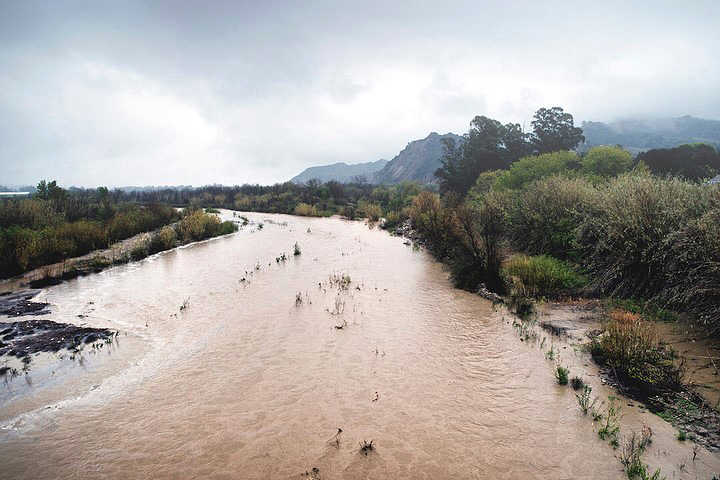
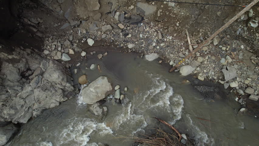
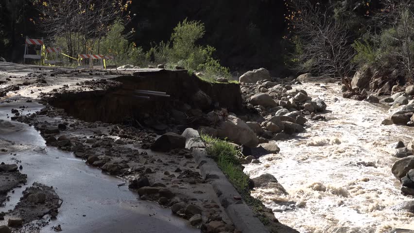
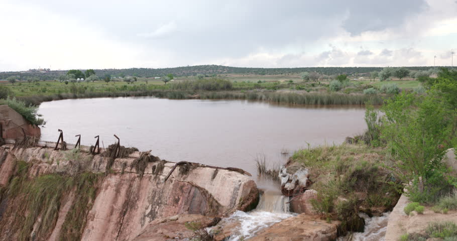
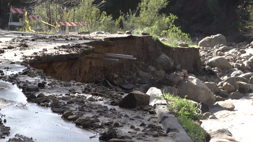
Free Photos > USA Photos > California Photos > Other Photos > Santa Clara River Conservancy during flood (3/140) The Santa Clara River flows near Santa Paula, California after a rain event in 2018. TThe river is a rarity in Southern California: a river largely untouched by channelization, dams or leveed waterways, and boasts an abundance of wildlife. This one wild river remains due in no small part to a long-standing partnership of federal, state, local and non-governmental agencies who work to ensure it stays that way. Photo courtesy of The Santa Clara River Conservancy. Photo by Pacific Southwest Region USFWS. All free photos on this site are public domain. Please consider giving a credit hyperlink to https://www.goodfreephotos.com if you use the photos on this site using the attribution code in the below box. It is not required but it'd be much appreciated.
|
| ||||||||||||||||||||||||||||||||||||||||||||||||||
© Copyright 2024 Free Photos - Free Images. All rights reserved. Designed by CreativeMug | Zenphoto


